A RIGHT ROUND HERE REGIONAL GUIDE

Discover Southwest Montana

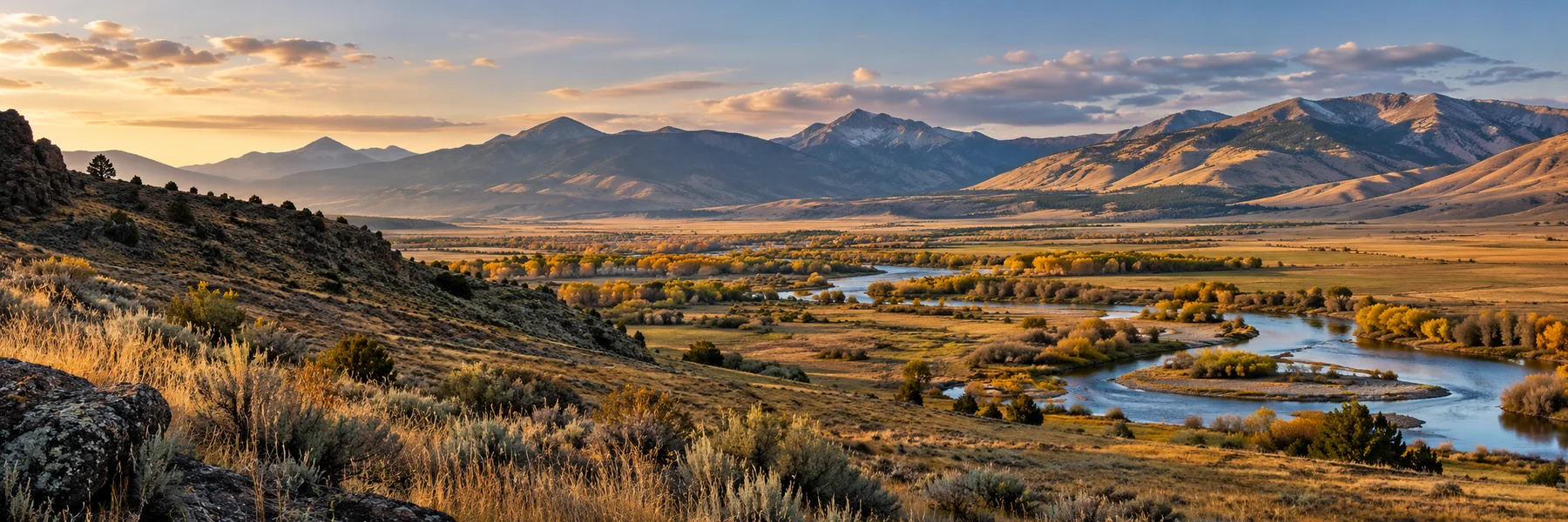
Southwest Montana keeps its history in the open. A mine headframe rises above Butte, a smelter stack stands over Anaconda, and the streets of former gold towns still lead between buildings that once served very different ambitions. Around them spread ranch valleys, river corridors and mountain country. Across nine counties, this is a region where the scenery and the human story keep interrupting each other in useful ways. Follow a promising side road and you may find yourself thinking about labor, wealth, memory or the work of keeping a place alive.

Inside this guide · Seven local perspectives, five curated photographs and ten places worth your time.Jump to the places

THE REGION, UP CLOSE

A landscape with more than one story.

Our regional lens: Beaverhead, Broadwater, Deer Lodge, Granite, Jefferson, Lewis and Clark, Madison, Powell and Silver Bow counties; Big Sky is outside the guide.

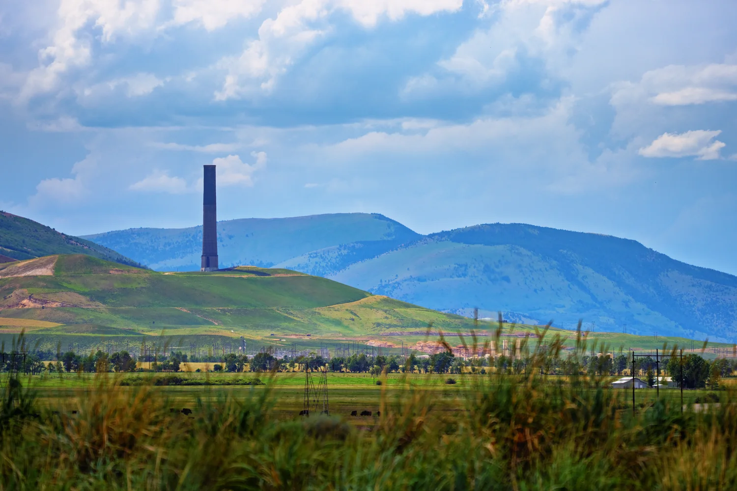
Butte and Anaconda are best understood as a connected industrial landscape. At the World Museum of Mining, the Orphan Girl mine yard and underground tour make extraction physical: the scale of the shaft, the equipment and the world beneath the surface. Anaconda's surviving smelter stack supplies the other end of that story, an immense brick landmark visible from a designated viewing area. Neither town is merely a backdrop for old machinery. The surviving structures help explain how an industry could organize lives and communities, then leave them facing a different future.
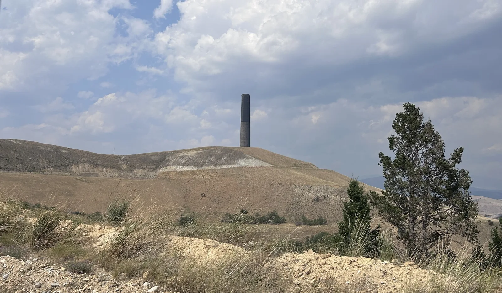
A tall brick stack stands on a barren hill below a textured sky, with scrub and a pine in the foreground.
Anaconda’s smelter stack rises above the former industrial landscape.Photo: Anaconda Smelter Stack 03 by Montanabw. CC BY-SA 4.0. Resized and converted for web use.

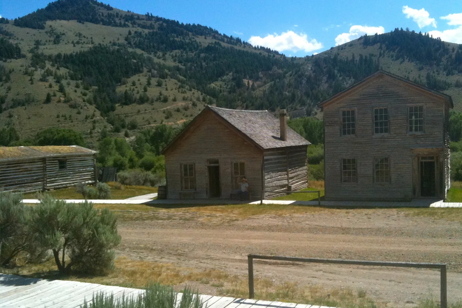
The gold and silver towns invite a closer, more domestic kind of attention. Bannack preserves a former territorial capital along Grasshopper Creek, while Virginia City and Nevada City reveal how buildings and everyday objects are assembled, cared for and interpreted. Above Philipsburg, Granite's surviving ruins make the fragility of a mining boom unmistakable. These places reward looking at a doorway, a shop interior or the remains of a union hall rather than searching only for an atmospheric photograph. Each preserves a different balance between original fabric, loss and continuing stewardship.
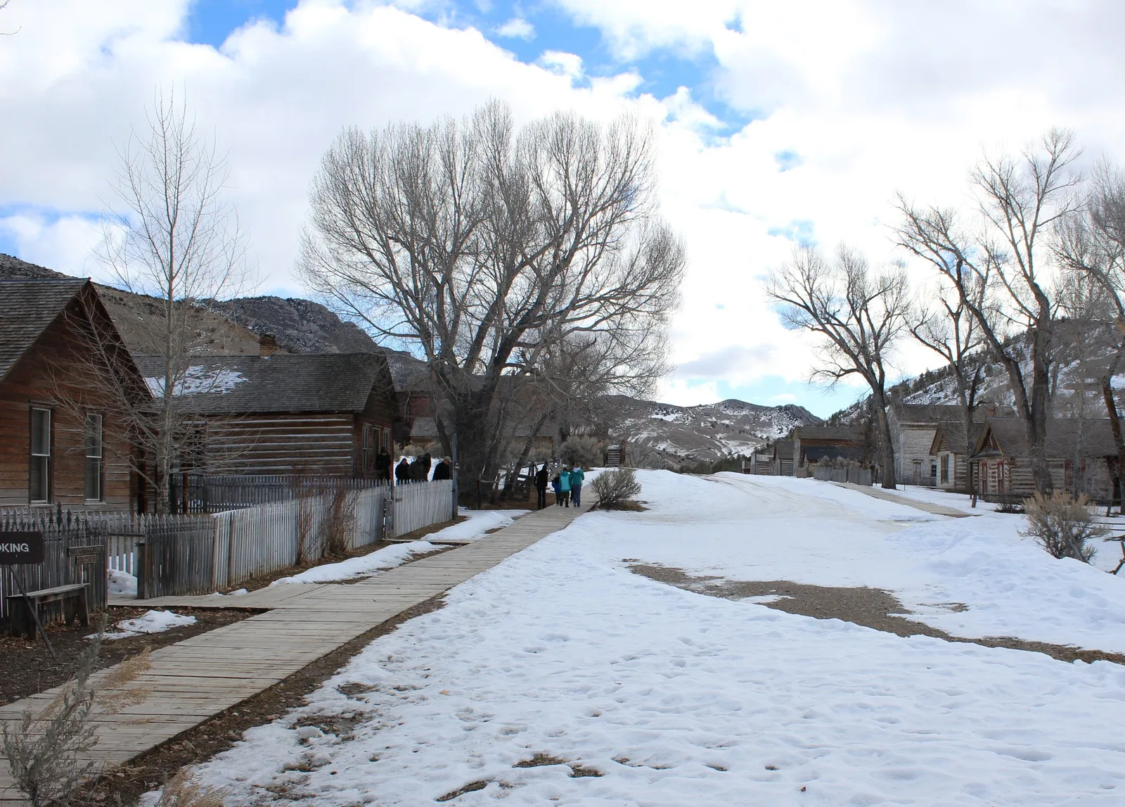
A wooden boardwalk passes historic houses beside a snow-covered street and leafless trees.
Bannack’s preserved Main Street in winter.Photo: Bannack Main Street by Mark Holloway from Anaconda, Montana. CC BY 2.0. Resized and converted for web use.

Ranch country tells a story of duration as well as change. At Grant-Kohrs Ranch in Deer Lodge, a working landscape gives context to the buildings, livestock and routines associated with the open-range cattle era. The broad valleys around Dillon, Wisdom and the Beaverhead country extend that sense of space. They also call for a fuller historical perspective: at Big Hole National Battlefield, the quiet ground commemorates the Nez Perce people and others who died in the 1877 conflict. A beautiful valley can be a place of mourning, too.
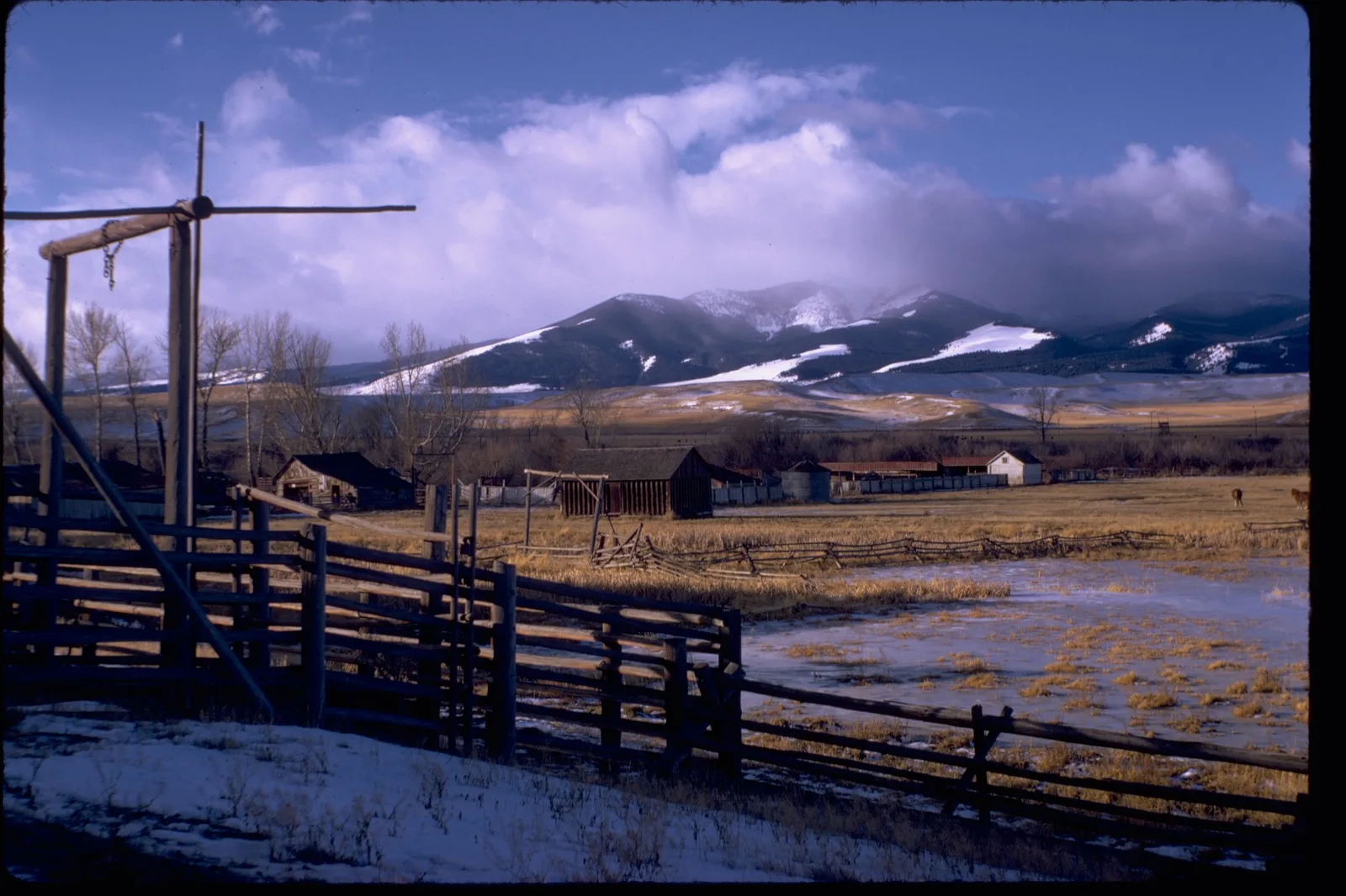
Wooden fences and ranch buildings stand before open fields and partly snow-covered mountains.
An archival National Park Service view of Grant-Kohrs Ranch and its mountain setting.Photo: Grant-Kohrs Ranch National Historic Site GRKO3395 by National Park Service Digital Image Archives. Public domain (U.S. federal government work). Resized and converted for web use.

Helena adds a capital city's layer to the region's mining inheritance. Last Chance Gulch began with an 1864 gold discovery and developed into a lasting urban center rather than an abandoned camp. North of town, the Gates of the Mountains takes the story onto the Missouri, where a boat trip brings steep canyon walls into view. To the east and south, Canyon Ferry opens the water into a broad reservoir landscape near Townsend. Moving between gulch, canyon and lake makes water's different roles unusually visible within a single part of the region.
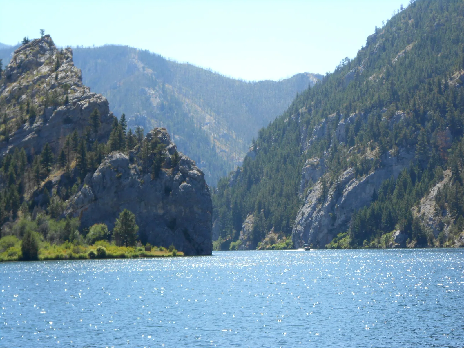
Blue water leads toward steep limestone cliffs and evergreen-covered slopes.
The Missouri River between the Gates of the Mountains near Helena.Photo: Gates of the Mountains opening 06 by Montanabw. CC BY-SA 3.0. Resized and converted for web use.

There is another Montana beneath the open sky. Lewis & Clark Caverns preserves a limestone cave system whose formations are revealed through guided visits, offering a change in scale from long mountain views to the small, patient work of water and mineral deposits. Above ground, the park's trails return you to the Jefferson River country. Pairing those perspectives is the point: Southwest Montana's geology is not simply scenery around the historic towns. It underlies the mineral wealth, shapes the valleys and creates experiences that ask you to slow down and look closely.
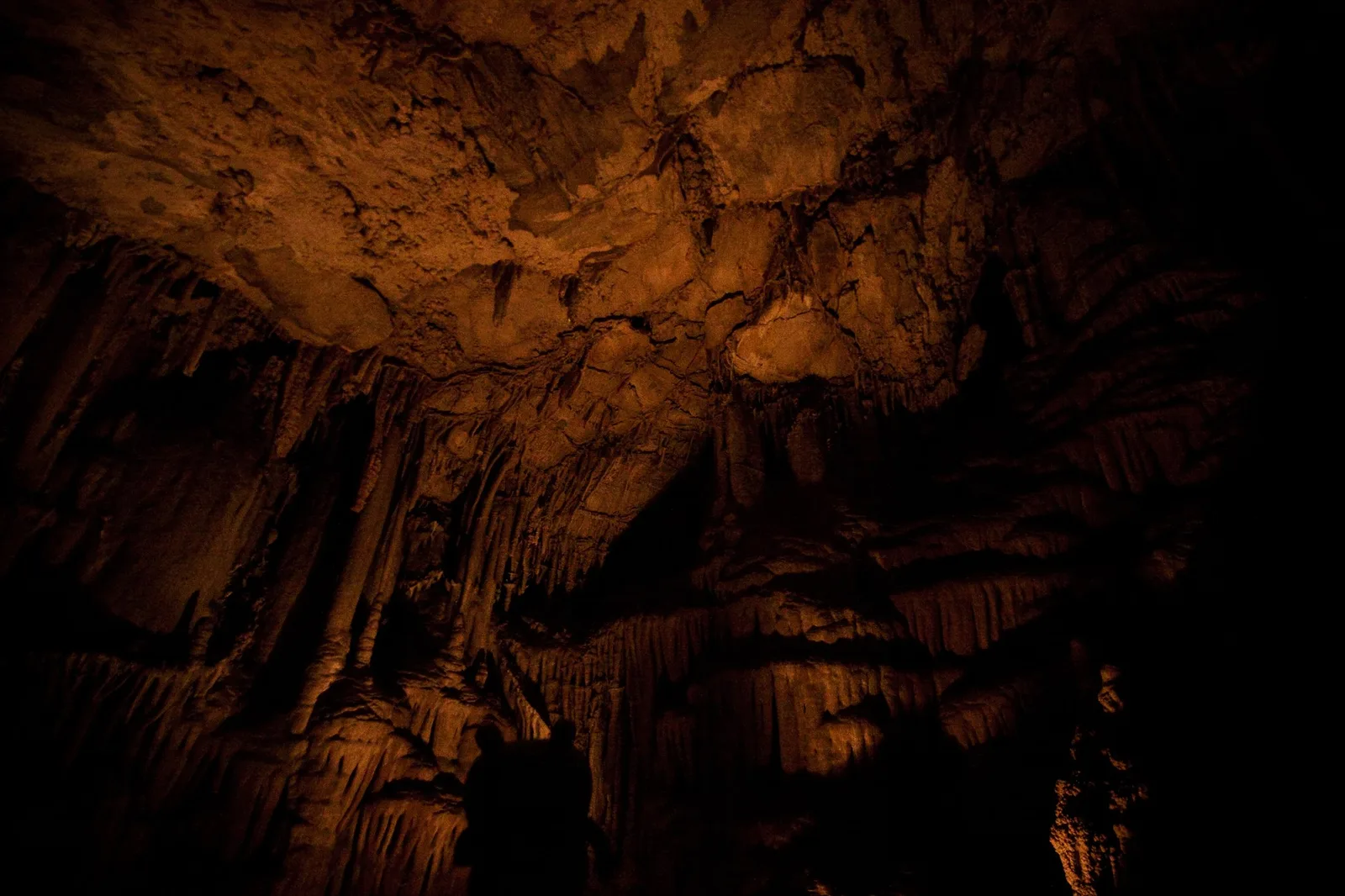
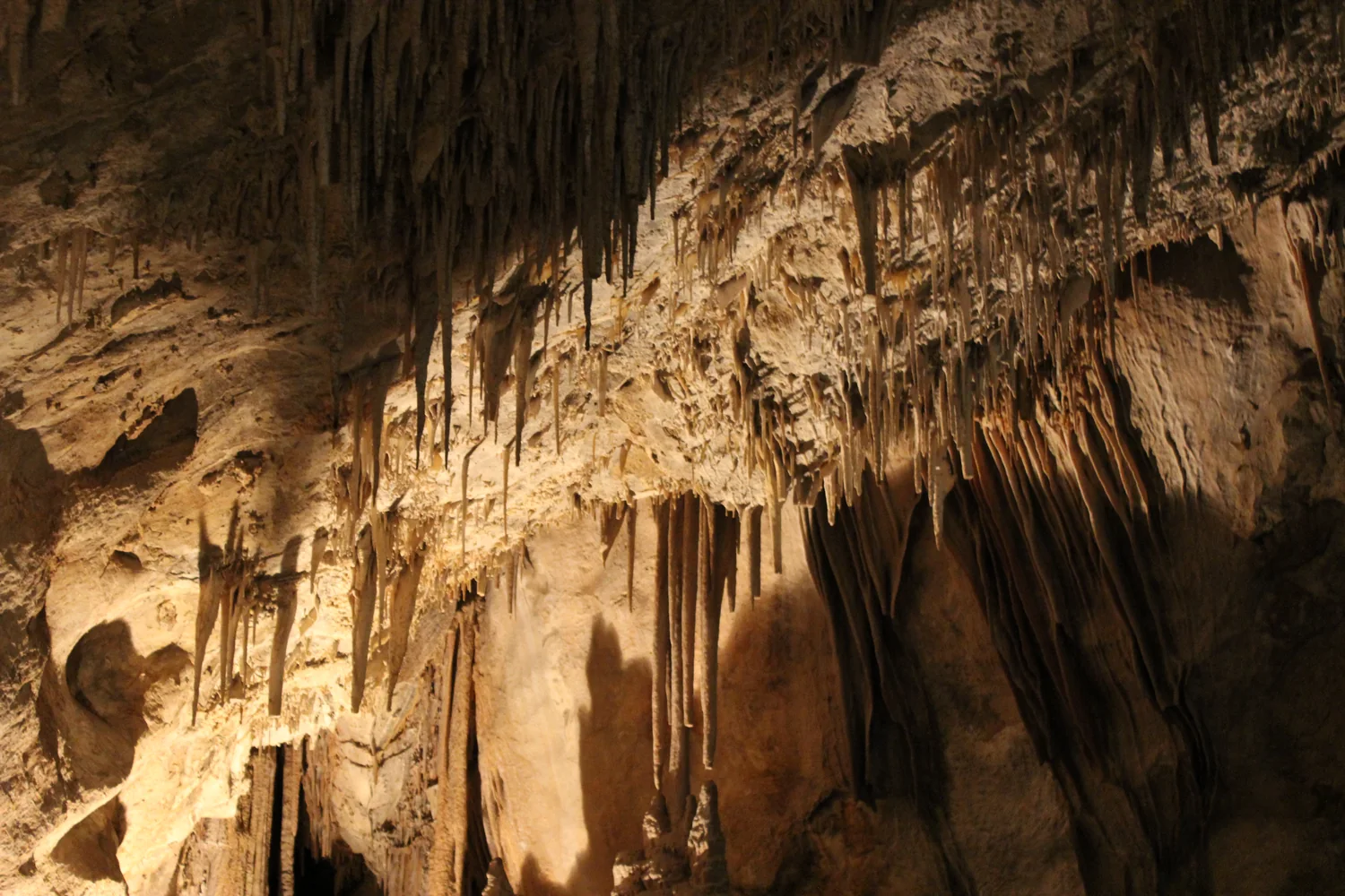
Warm light reveals densely layered cave formations against deep shadows.
Illuminated formations inside Lewis & Clark Caverns.Photo: Deepers into the cavernmers by Nomadic Lass. CC BY-SA 2.0. Resized and converted for web use.

Explore this region by following relationships rather than collecting ghost towns. Connect Butte with Anaconda, a ranch visit with the surrounding valley, or Helena's streets with the Missouri beyond them. Leave enough time for interpretation, because many of the most striking places are also the most complicated. Southwest Montana offers beauty with evidence attached: buildings, tools, landscapes and living communities that keep the past available for questioning, and make the journey feel larger than the miles traveled.
MAKE A DAY OF IT

Ten places to explore.

Landmarks, landscapes and local institutions selected to reveal the character of Southwest Montana.

  1. Historic wooden buildings below the hills at Bannack State Park.
    Bannack State Park by Ernie Hathaway · CC BY 2.0 · Cropped, resized and converted for web use.
    Near Dillon, Beaverhead County

    Bannack State Park

    Walk the preserved streets of Montana’s first territorial capital beside Grasshopper Creek. The surviving buildings make it possible to imagine a community beyond the familiar gold-rush legends. Begin with the park’s visitor information and explore on foot, giving the modest structures as much attention as the larger landmarks.

    Plan your visit
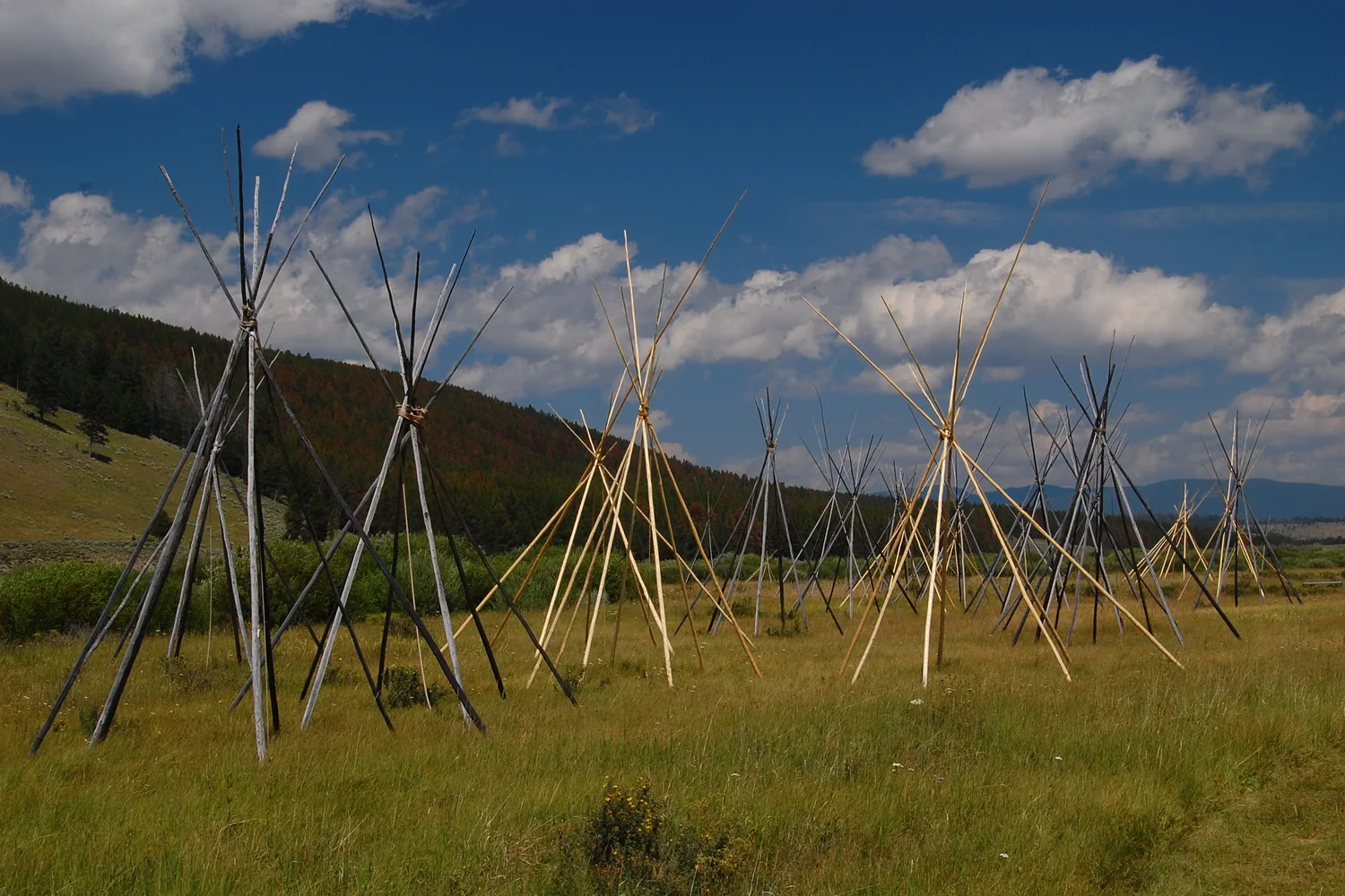
  2. Tipi frames in the landscape of Big Hole National Battlefield.
    big-hole-08-07-2010-roger-peterson-050 by Roger Peterson / US Forest Service · CC BY 2.0 · Cropped, resized and converted for web use.
    Near Wisdom, Beaverhead County

    Big Hole National Battlefield

    This quiet valley preserves the memory of the 1877 battle and the Nez Perce families whose lives it devastated. Start with the visitor center’s interpretation before following the battlefield trails. The landscape deserves a reflective visit; its calm appearance is part of what makes the history so affecting.

    Plan your visit
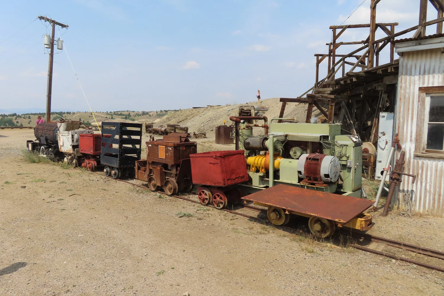
  3. Mine cars and industrial structures at the World Museum of Mining in Butte.
    20210806 70 World Museum of Mining, Butte, Montana by davidwilson1949 · CC BY 2.0 · Cropped, resized and converted for web use.
    Butte, Silver Bow County

    World Museum of Mining

    The museum occupies the Orphan Girl mine yard, bringing mining history back to the place where it happened. Surface exhibits and a separately arranged underground tour reveal different aspects of the work. Much of the site is outdoors, while the descent provides a close encounter with the mine’s physical scale.

    Plan your visit
  4. The Anaconda Smelter Stack rising above grassy hills and distant mountains.
    Anaconda Smelter Stack (Montana) by Tony Webster · Tony Webster · CC BY 4.0 · Cropped, resized and converted for web use. · Original rights statement
    Anaconda, Deer Lodge County

    Anaconda Smoke Stack State Park

    The immense brick stack is a powerful marker of the smelting industry that shaped Anaconda. Interpretive signs at the viewing site near Goodman Park explain its history and significance. The experience is deliberately from a distance: visitors do not enter the stack or walk up to its base.

    Plan your visit
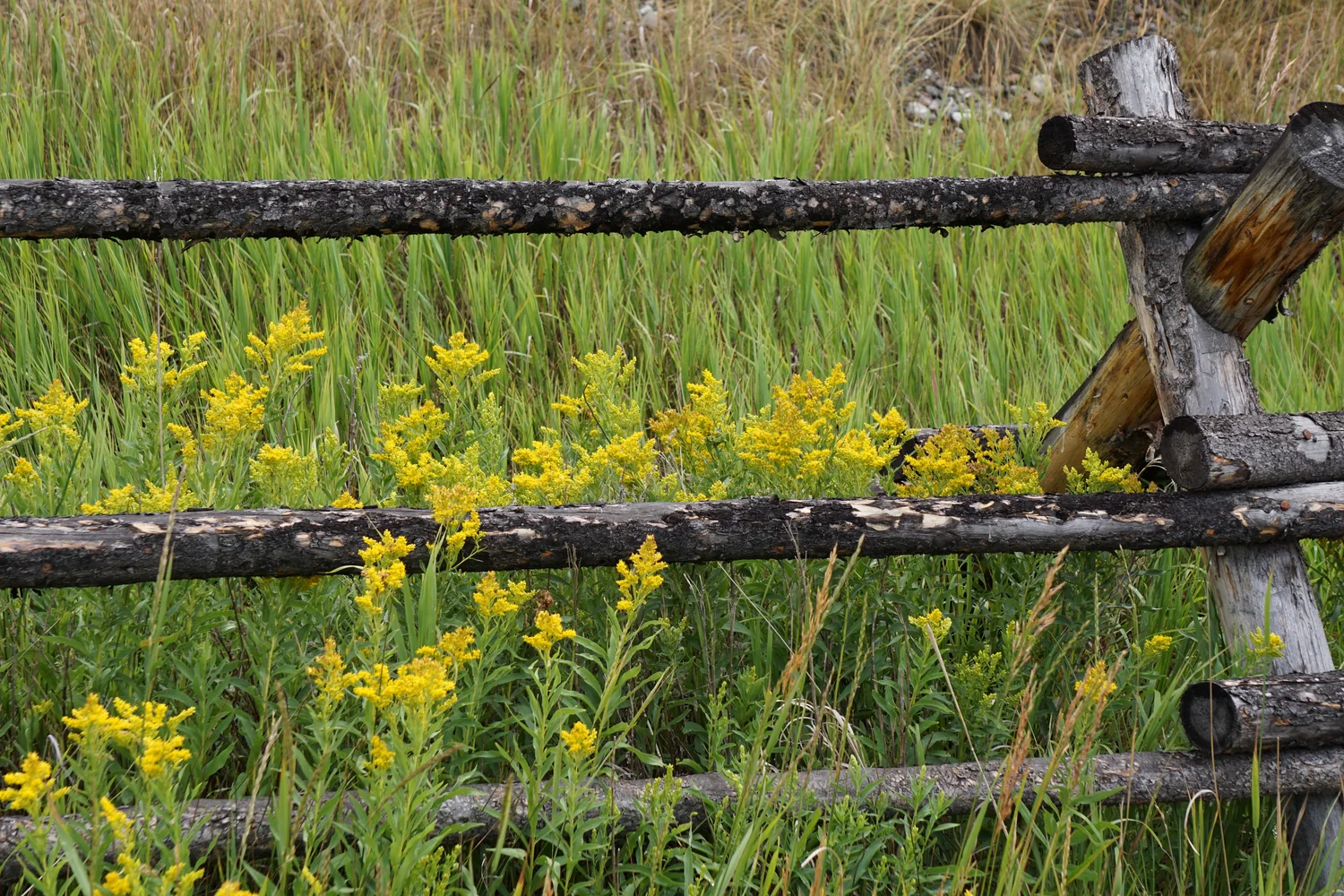
  5. A split-rail fence and yellow wildflowers at Grant-Kohrs Ranch.
    Grant-Kohrs Ranch, Montana [DSC00386] by rbaire · CC BY-SA 2.0 · Cropped, resized and converted for web use.
    Deer Lodge, Powell County

    Grant-Kohrs Ranch National Historic Site

    Historic buildings and an active ranch landscape illuminate the open-range cattle era through more than display cases. Livestock and seasonal interpretation help connect the domestic and working sides of the ranch. Begin at the visitor center beside the main parking area, then take time to explore the grounds.

    Plan your visit
  6. Illuminated limestone formations inside Lewis & Clark Caverns.
    Lewis and Clark Caverns State Park by AllAroundTheWest · CC BY-SA 2.0 · Cropped, resized and converted for web use.
    Near Whitehall, Jefferson County

    Lewis & Clark Caverns State Park

    A guided cave visit reveals limestone formations on an intimate scale, with the surrounding park offering trails and broad above-ground views. The contrast makes this more than a single underground attraction. Choose the guided route that suits your group’s mobility and stamina; cave access is managed through tours.

    Plan your visit
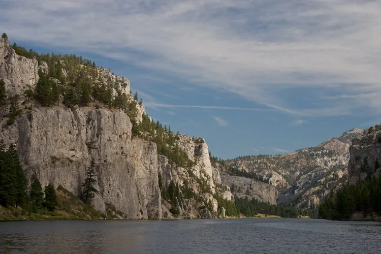
  7. Limestone walls above the Missouri River at Gates of the Mountains.
    DSC_0024 by Dwaters@Flickr · Daniel Waters · CC BY 2.0 · Cropped, resized and converted for web use.
    North of Helena, Lewis and Clark County

    Gates of the Mountains

    A seasonal boat trip on the Missouri brings you close to the canyon’s steep walls and the stories associated with this river corridor. The departure point is north of Helena, away from downtown. Build the outing around a reserved sailing and allow the journey itself to become the main event.

    Plan your visit
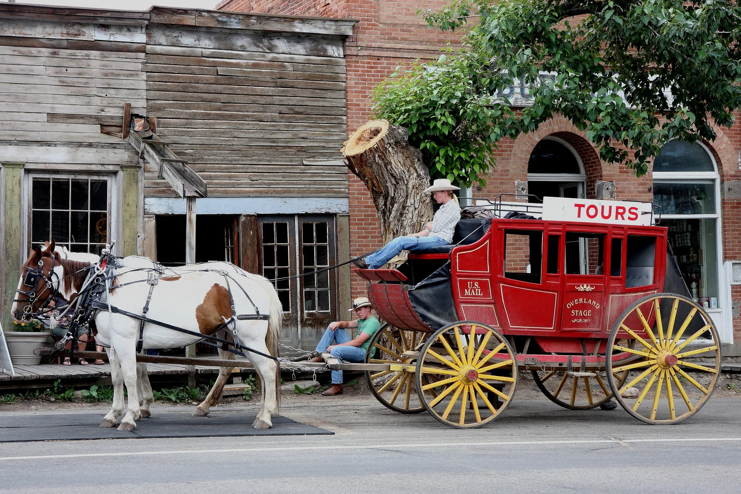
  8. A horse-drawn stagecoach passing historic buildings in Virginia City.
    Virginia City, Montana by Bsandtana · CC BY 2.0 · Cropped, resized and converted for web use.
    Madison County

    Virginia City and Nevada City

    Explore two neighboring historic towns with an extraordinary concentration of preserved buildings and everyday objects. Virginia City’s streets and Nevada City’s museum setting offer different ways to encounter the gold-rush past. Use the Montana Heritage Commission’s walking maps to connect individual structures with the broader story of preservation.

    Plan your visit
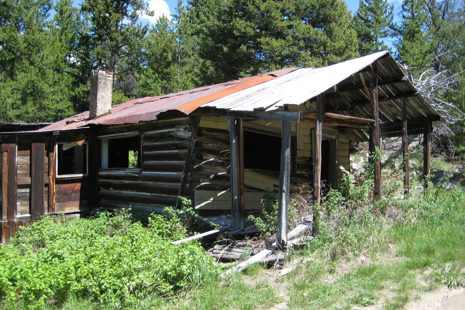
  9. A weathered cabin among trees at Granite Ghost Town.
    Ghost Town by Hugo-90 · CC BY 2.0 · Cropped, resized and converted for web use.
    Above Philipsburg, Granite County

    Granite Ghost Town State Park

    Remnants of a once-busy silver town, including the miners’ Union Hall and superintendent’s house, make boom-and-bust history tangible. The mountain approach is part of the commitment: the road is steep and narrow, and a high-clearance vehicle is required. Explore carefully on foot once you reach the preserved site.

    Plan your visit
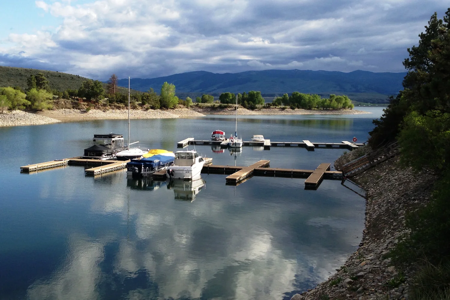
  10. Boats moored in Goose Bay Marina on Canyon Ferry Reservoir.
    Goose Bay Marina by Bureau of Reclamation · CC BY-SA 2.0 · Cropped, resized and converted for web use.
    Helena–Townsend corridor

    Canyon Ferry Reservoir

    Broad water and open shores provide a different experience from Southwest Montana’s narrow river valleys. The reservoir supports boating, fishing and shoreline recreation, with several access areas rather than a single entrance. Choose a launch or day-use site near the part of the lake you intend to explore.

    Plan your visit

PUTTING DOWN ROOTS?

Local help for the practical side of life.

Whether you are visiting, newly arrived or caring for a longtime home, the Right Round Southwest Montana service directories make useful local options easier to find.

Explore local services